Metro Rail Red Line Botanist Services, Red Line Corridor, Los Angeles, California

CLIENT
Los Angeles County Metropolitan Transportation Authority (LACMTA)
SERVICES PROVIDED
Botanical Resources, Surveys Field Surveys/Monitoring, Identification of Project Vegetation Issues, Evaluation of Ecological Issues
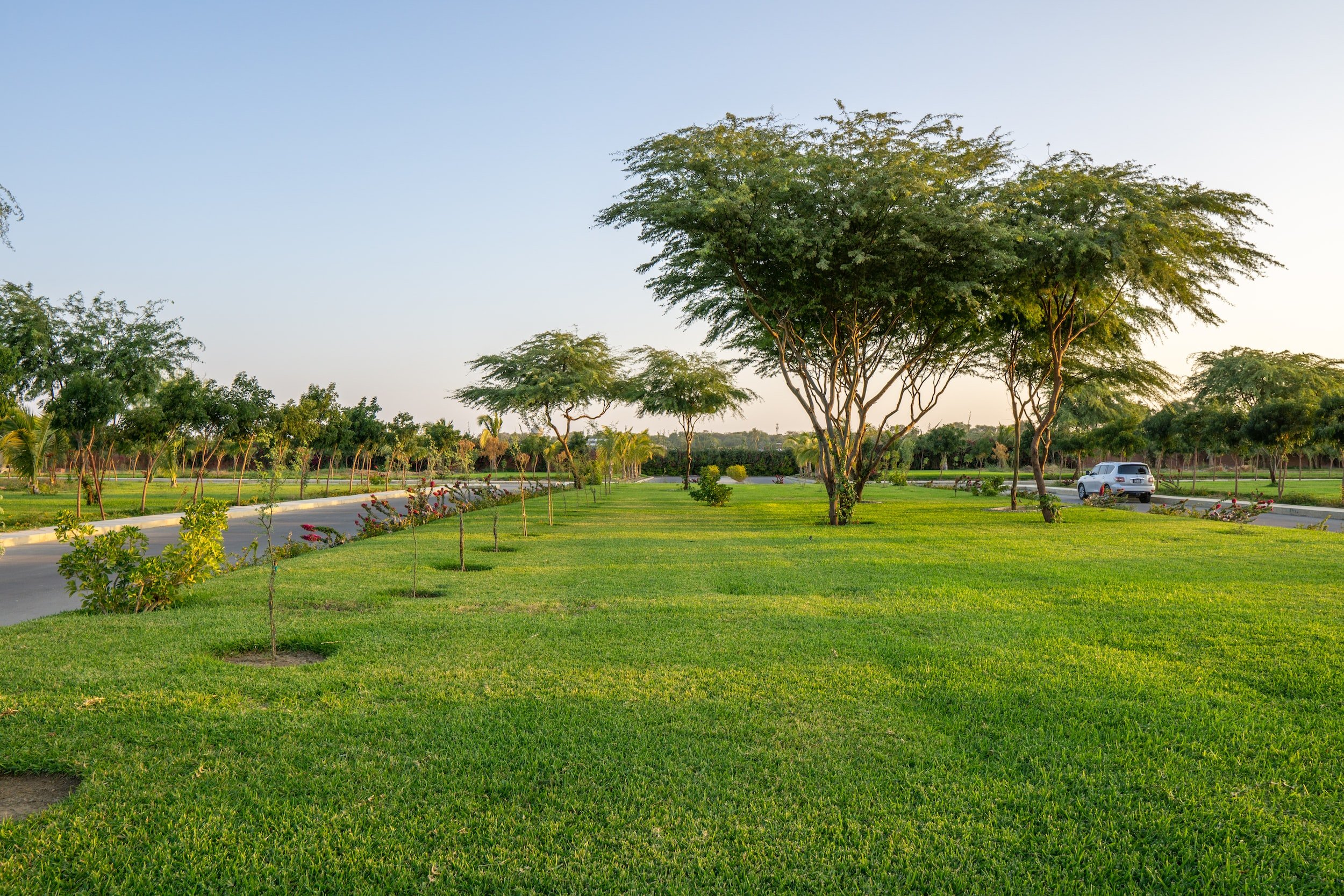
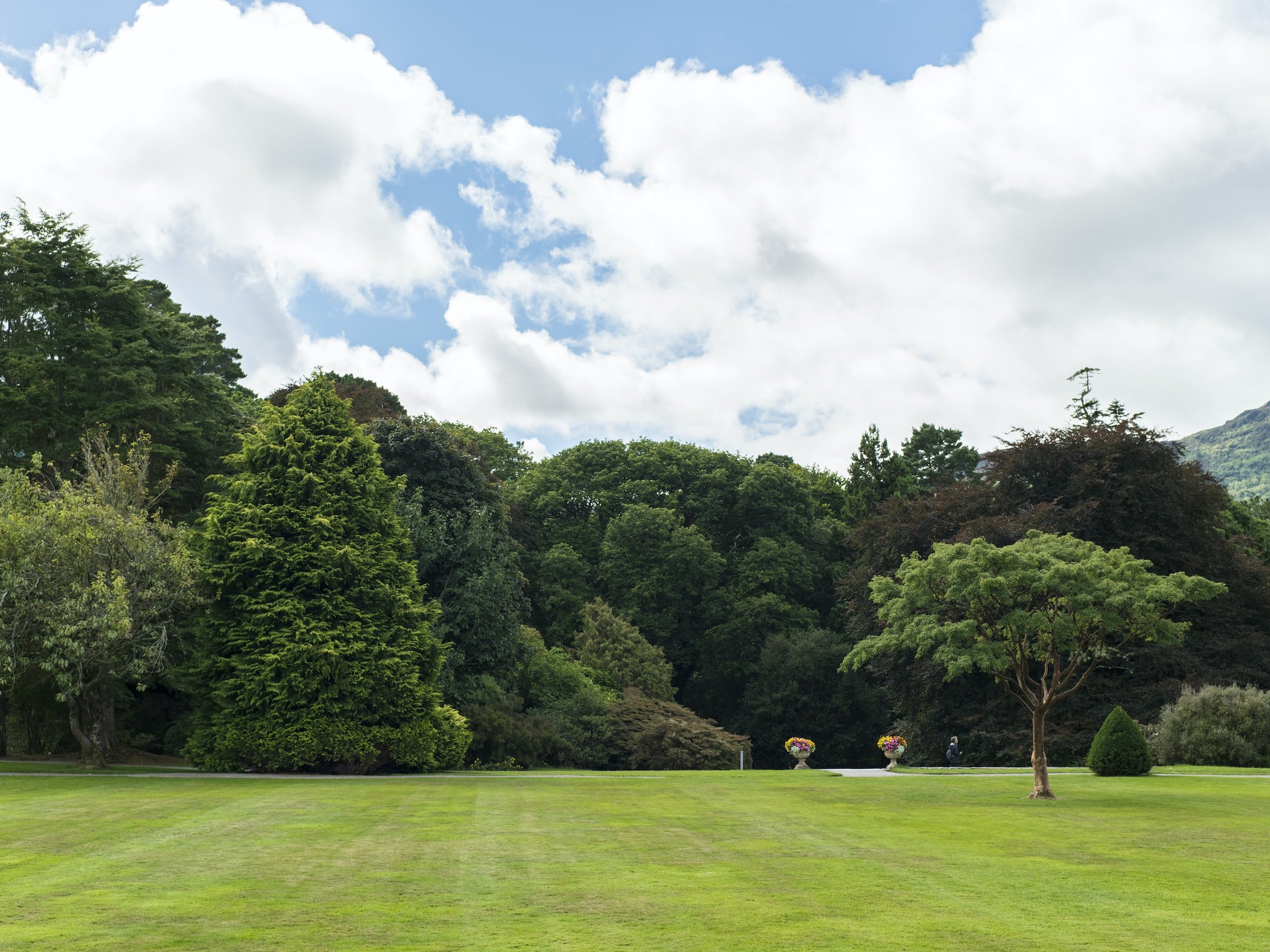
The project area of the tunnel alignment, or Red Line Corridor, is located on the north and south slopes of the Santa Monica Mountains in the City of Los Angeles. It originates at the southern boundary of Runyon Canyon Park and portions of Nichols Canyon and extends to residential areas of Solar Drive and Mulholland Drive north to Universal City. DRC assisted LA Metro with field investigations of the study area. The scope of services for the botanist and arborist consisted of periodic on-call/as-needed monitoring and field investigations of the status of native/natural and landscaped/horticultural botanical resources found within the tunnel alignment for the Red Line Corridor. The area of concern included a corridor 1,000 feet wide on either side of the centerline of the tunnel alignment. The objective was to collect sufficient data to determine if substantial changes occur to native vegetation or plant communities and residential landscaped areas due to dewatering of areas in the mountains during and after construction and to document when these effects may occur. The botanist and arborist conducted an overview of the entire study area to evaluate pre-existing conditions of native/natural and landscaped/horticultural vegetation. Damage to botanical resources caused by previous abiotic and biotic factors were considered distinct and separate to potential impacts caused by tunnel construction dewatering. The botanist’s review of ecological issues concerning landscaped vegetation, comprised primarily of horticultural and ornamental species, may be native or introduced species found on residential properties such as yards, property borders, and hillsides. The botanist, in cooperation with the arborist, conducted plant ecological methodologies designed to evaluate the potential use of water by trees and shrubs in the corridor. Both recommended appropriate surveys in the corridor to determine damage caused by dewatering to native/natural and landscaped/horticultural botanical resources, respectively. Botanical Resources Survey Reports submitted to LA Metro presented the results of the on-call/as-needed field surveys. In addition to showing any damage botanical resources affected by dewatering, the surveys discussed general vegetation types in the study area and their condition and generally identified significant resources in the study area that showed verifiable dewatering damage, such as oak and sycamore tree habitats or groves.
Gallery